Santa Fe Part 3 – Santa Fe to Chimayó

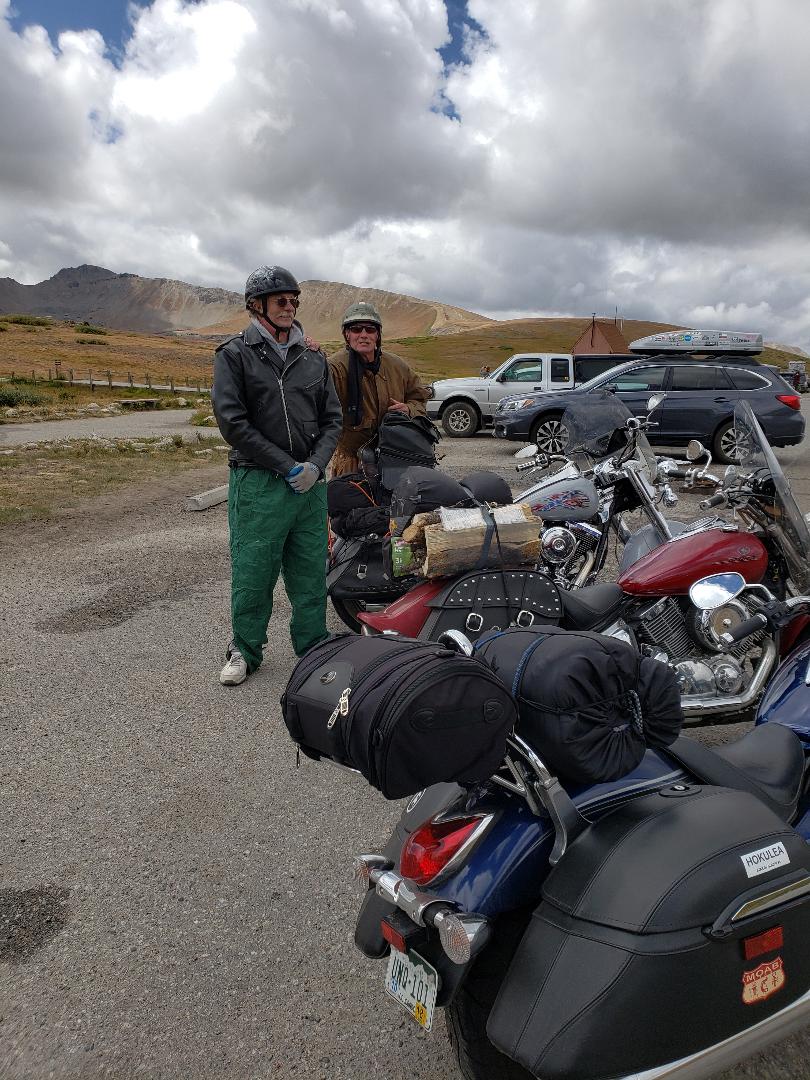
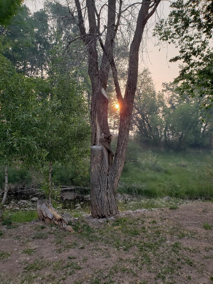
Sunday morning dawned bright and clear, promising pleasant weather for my trip back to Buena Vista.

I loaded the bike and then made breakfast, using items from the well-stocked kitchen. I found some “Andean blue eggs,” in the refrigerator, which had very pale blue-gray shells and bright yellow yolks! I scrambled those and had them with a pastry I had picked up the previous day in town. I had some good coffee and wrote in the guest book.

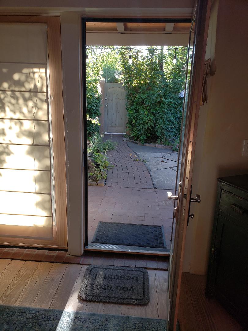
I said goodbye to the casita, locked the door, mounted the bike and made my way slowly over the gravel to the street.

I rode a few blocks and stopped to get gas, then headed north on Highway 285.

My plan was to visit the Santuario de Chimayó, northwest of Santa Fe. I got directions from a shopkeeper in Santa Fe, who said I could go through Nambé and approach Chimayó from the south. Originally I thought I would have to go through Española and head east.

I took the exit for Nambé, which is one of the many Indian pueblos in the area. I rode for a few miles down a pleasant two-lane road past scattered houses and found the road heading north to Chimayó.

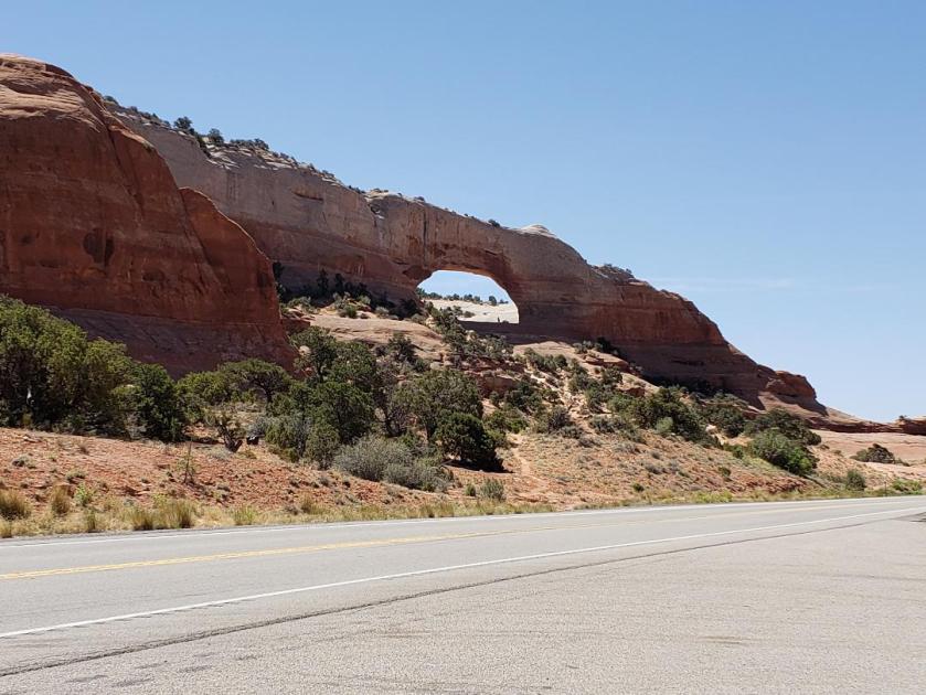
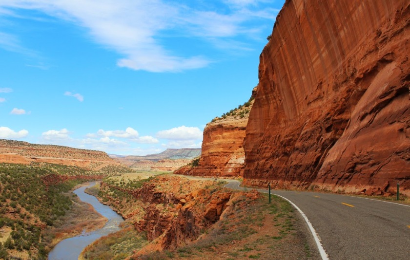
This road twists and turns through the rugged high desert with its sand, rock and sagebrush.

After a few miles, I was delighted to see a small green valley and a sign for the Santuario, pointing down a steep hill.

I parked the bike in the gravel lot and made my way to the chapel grounds.

santuario

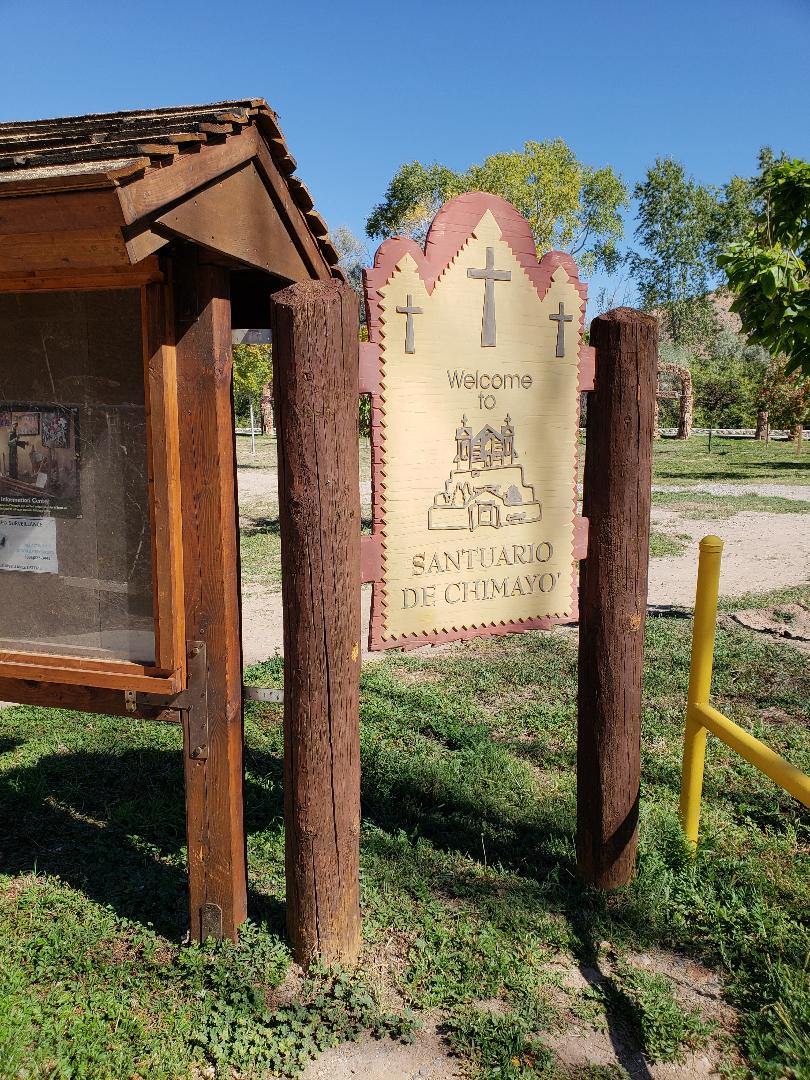
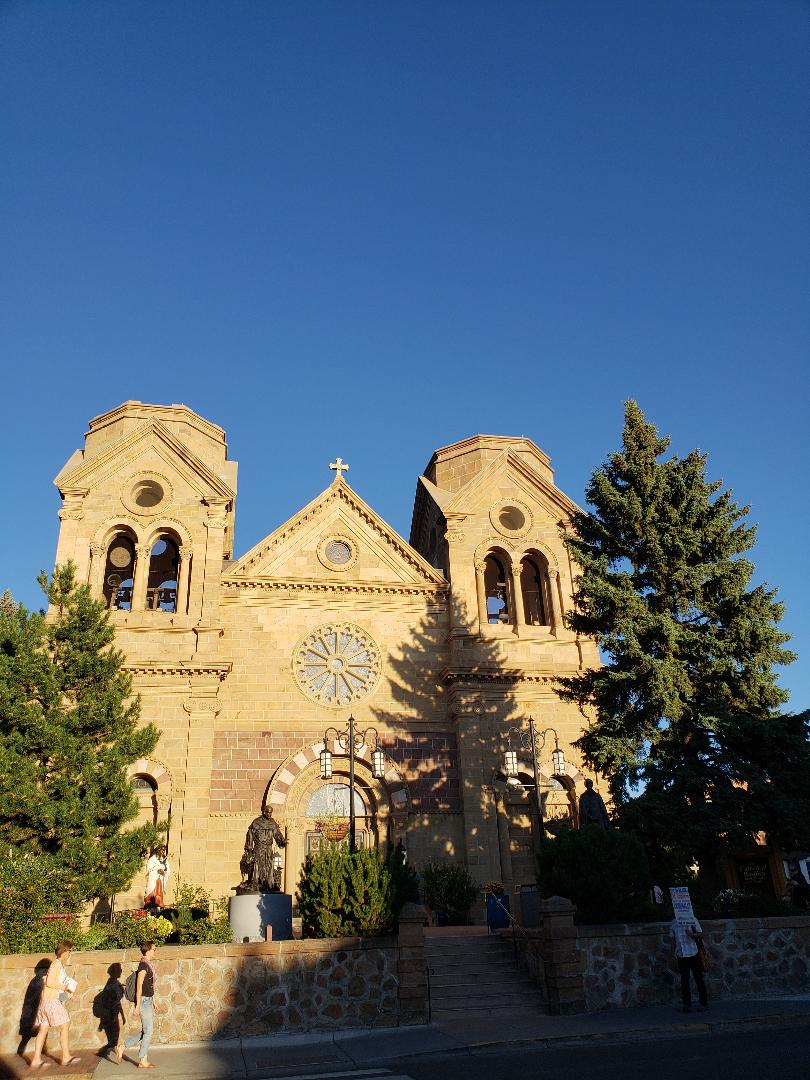
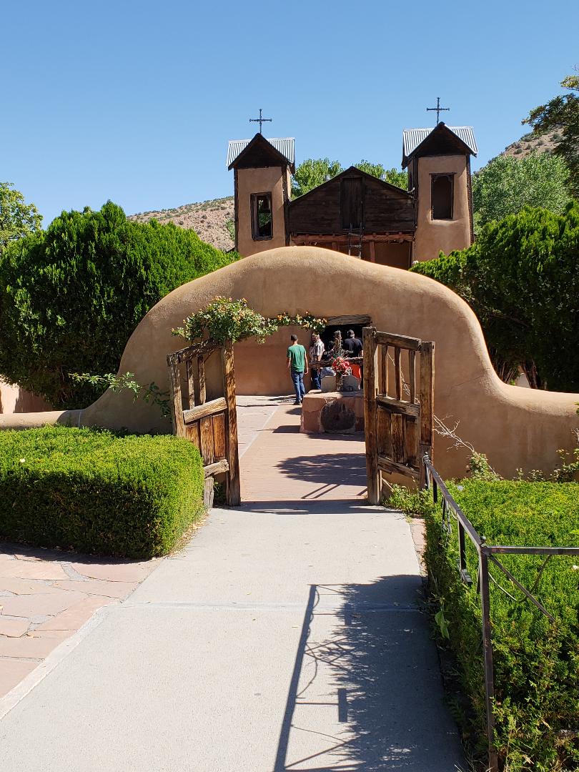
The small church was built over 200 years ago and is still being used as a place of worship today. The Santuario’s claim to fame is that dirt from a back room is believed to heal physical and spiritual ailments. As a result, pilgrims flock to the site in droves.

The chapel site is beautiful and serene, with many statues and places of offering, where people have placed photographs and other items, seeking help for those in need.

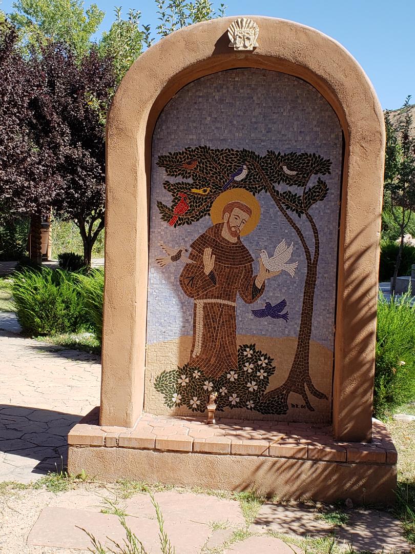
St. Francis of Assisi is the patron saint of Santa Fe and has a strong presence in northern New Mexico. Here is a lovely mosaic of St. Francis at the Santuario:

st francis at santuario

And here is the main entrance to the chapel:

santuario entrance

There was a Mass in progress when I arrived, so I could not see the interior.

From Chimayó, I rode west to Española to reconnect with Highway 285. As I rode into Española, I found myself following a truck which was towing a small trailer loaded with piñon logs, barely making the speed limit. I wound up following this fellow for 30 to 40 miles over the rolling hills northbound on 285. Going uphill, there would be a “Do Not Pass” sign; downhill there would be a “Pass With Care” sign. Finally, there was a flat enough stretch which allowed me to accelerate and pass the truck.

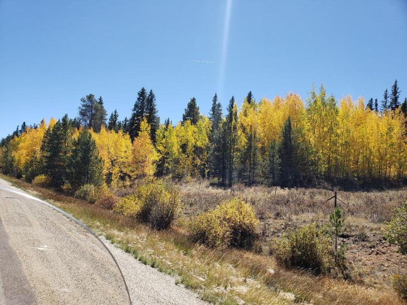
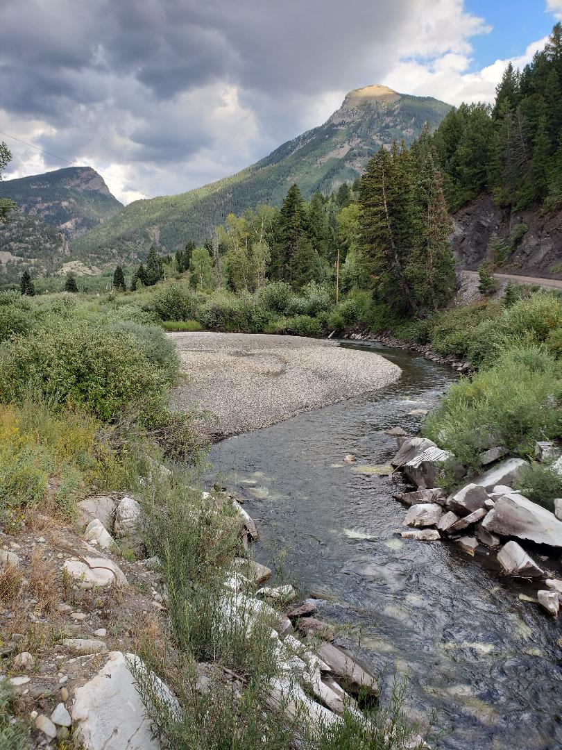
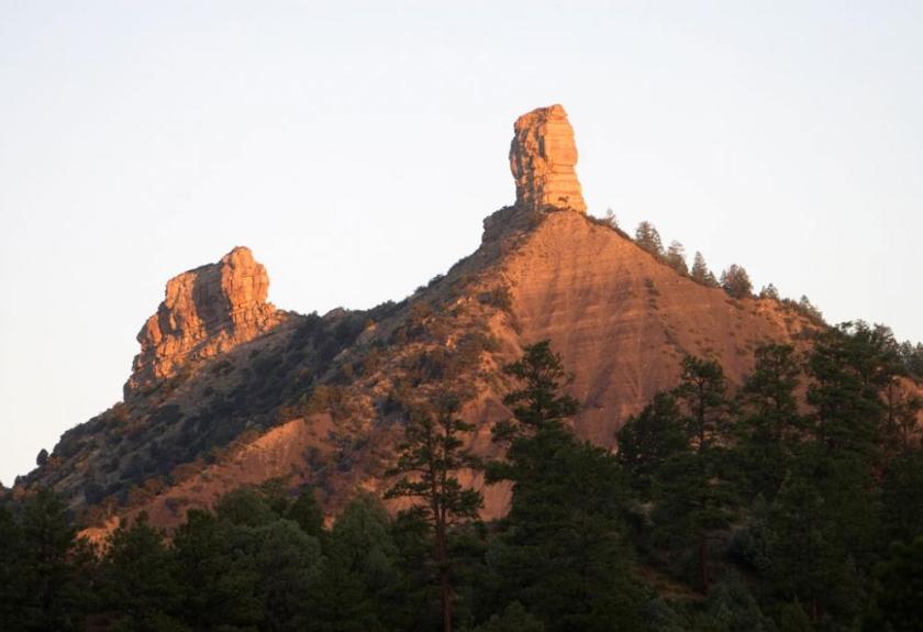
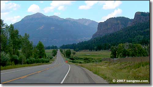
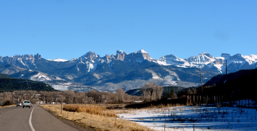
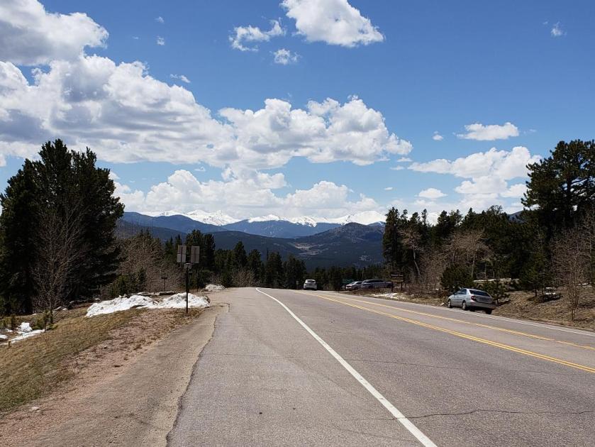
The road heading north to the Colorado border goes through rolling, piñon-covered terrain, giving way to a wide, flat, hazy, grassy plain with mountains far in the distance.

I was starting to stress about where I would stop for gas, as I saw my trip odometer making its way past the 100-mile mark. Even though I know the bike gets over 50 miles a gallon, I don’t like pushing it much past 100 miles before topping off the tank.

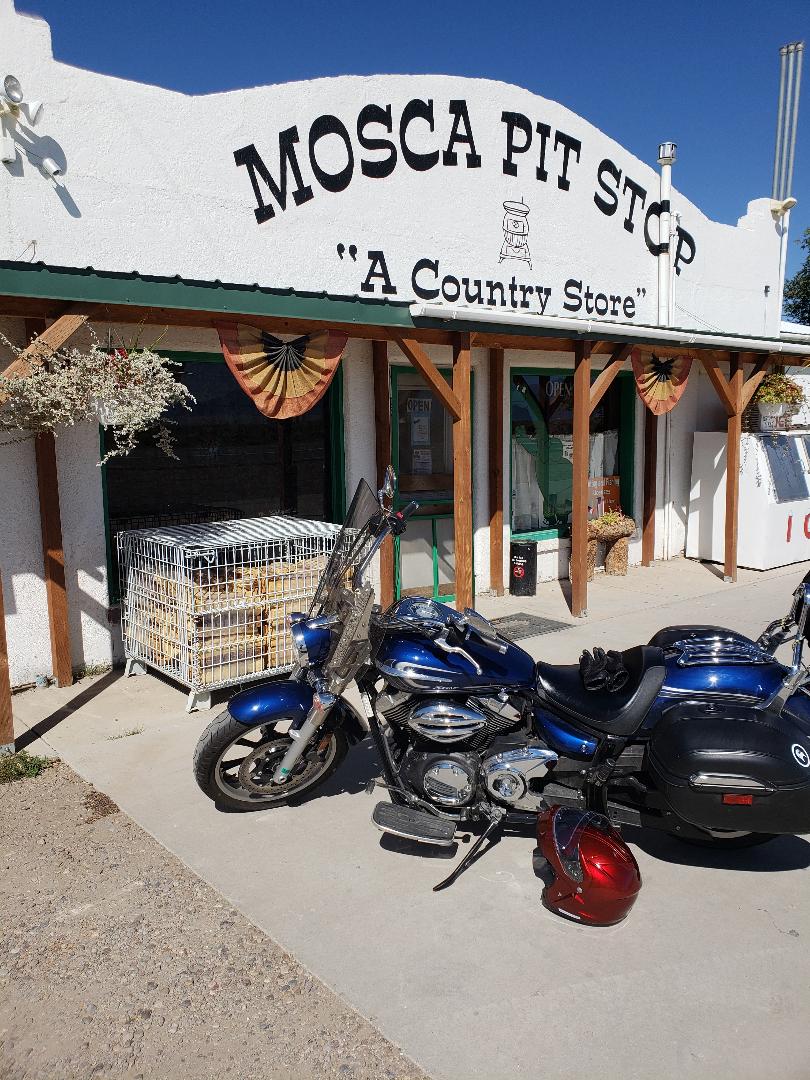
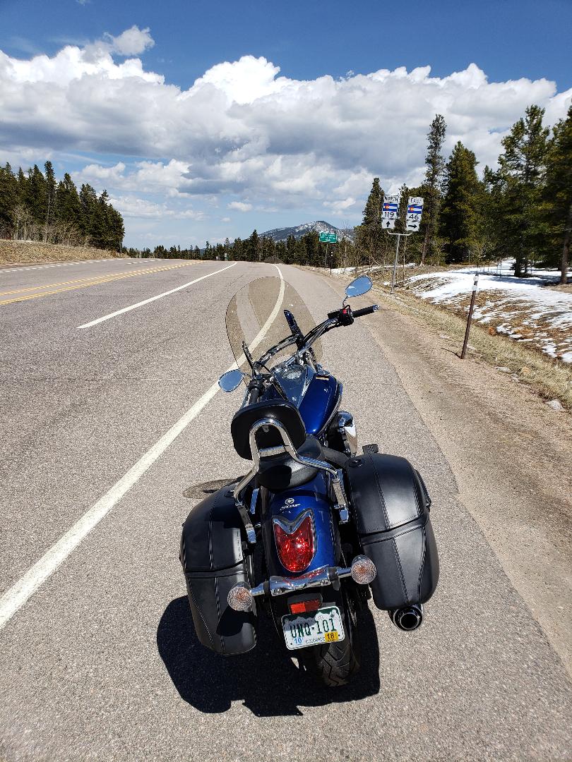
It was a long haul north on 285, but then I crossed the border and motored on north to Antonito, where I stopped for gas. I met a fellow and his son on a Harley, who were gassing up and heading south for a day ride into New Mexico.

I got snacks, then headed north to Alamosa. There, I picked up Highway 17 for the straight shot to Poncha Pass.

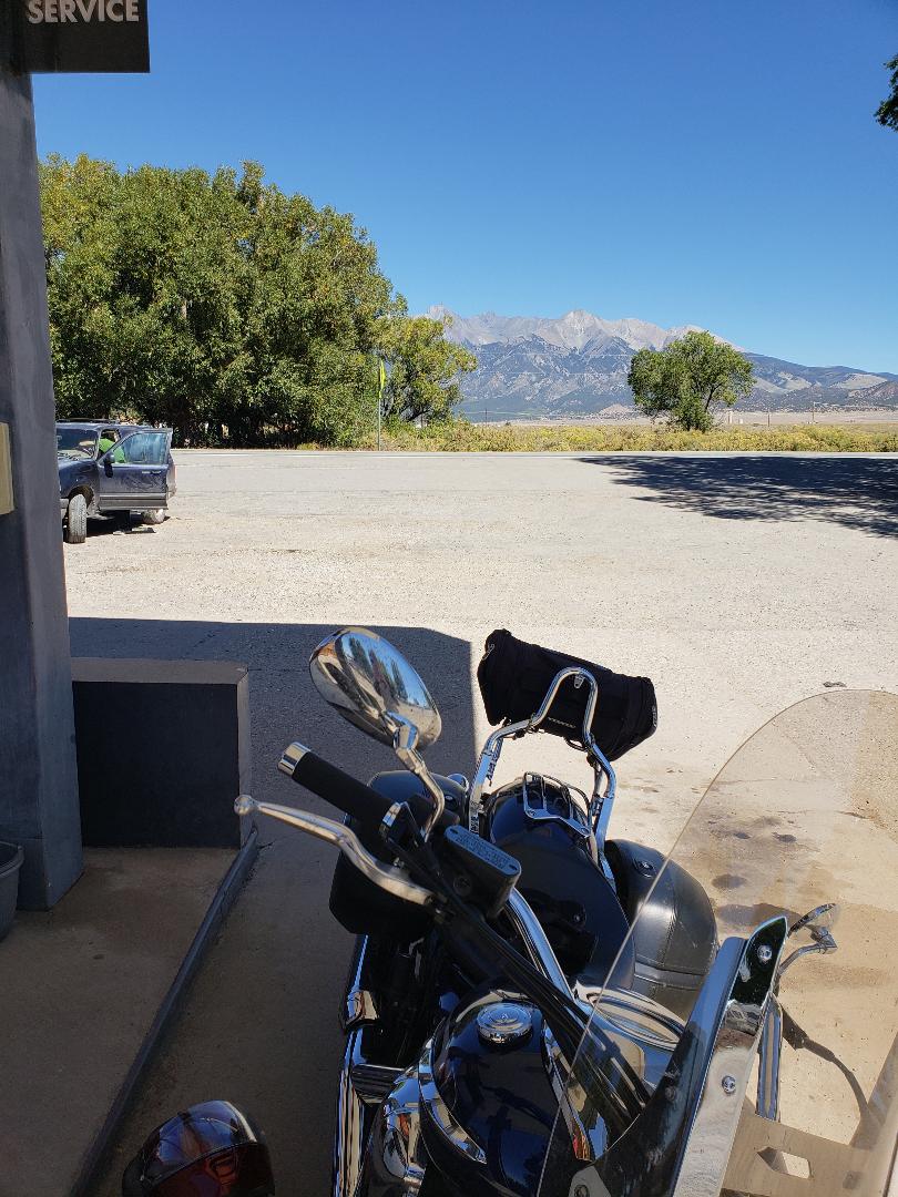
The pass was fine, I made it up and over no problem. At the base of the pass is a gas station where Hilary and I had stopped on our way back from Moab. I thought, even though I could probably push on to Buena Vista, I really ought to get more gas.

Well, I was tired, and when I’m tired I can get distracted and my awareness can slip a bit.

I was approaching the gas station and there was a pickup truck which was pulling in to the station. I was looking at it and not watching where I was going.

All of a sudden, I found that I had steered the bike off the pavement and the front tire had landed in a hole, just off the edge of the blacktop. Clunk.

I tried to throttle myself out of the hole, to no avail. The pickup truck driver saw this happen and came over to help me.

His first words were “road bikes are heavy!” That’s for sure. Especially when you’re tired.

He helped me push it out of the hole, I got my gas, and was on my way again.

My trip to Buena Vista, then back to Lafayette the next day, was uneventful. I was glad to get back home, unpack the bike and think about my next adventures!

Bike Tours 2019

As I’ve mentioned, my brother and I are planning a motorcycle trip to Grand Teton and Yellowstone in the summer of 2019. We’ll be camping and preparing our own food.

In addition, I would like to return to northern New Mexico to do some more touring. This time, I want to take the High Road from Taos to Santa Fe, which should be lovely!

Until then, I will ride as the weather permits.

Keep the rubber on the road and have fun!


Santa Fe Part 2 – Touring Santa Fe

Friday Night, September 14

About 4:00 p.m. on Friday, September 14, I arrived at the charming casita that I would call home for the next two nights. I found this place through Airbnb. (A “casita” is Spanish for “little house; “casa” is “house.”)

It is in an old neighborhood about ½ mile west of the Plaza. These streets are lined with old adobe homes, many with adobe walls at the fronts and gates opening to their front yards.

My casita was at the back of the lot off of Elena street. Here is the front gate to the casita, looking east out of the front door (past that gate is the aforementioned gravel parking lot, which I did not photograph!):

casita walk

Here is the entrance:

Casita entrance

The whole place was decorated beautifully with bits of folk art!

This is the kiva fireplace:

casita fireplace

After I got settled, I walked to the Plaza to do some sight-seeing.

Adobe and blue sky:

adobe and sky

Beautiful architecture:

architecture.jpg

The Basilica of St. Francis:

basilica

A little later, I went to Casa de Chimayó, a wonderful restaurant serving New Mexican food and great margaritas! It has a fun interior with a Día de los Muertos (Day of the Dead) theme:

Casa de Chimayocasa de chimayo 2

I got back to the casita and relaxed a bit, watching some TV and looking at interesting books about the area.

I had switched off the TV, when, all of a sudden, I heard what sounded like someone taking three quick steps towards the door to leave!

I was a bit unnerved by this, and asked the room, “What just happened?!”

I sat there for a few minutes thinking about what had just occurred. My immediate thought was there was a squirrel on the roof. But the sound I heard was in the room.

I have seen enough ghost hunter shows to suspect that this would likely be a “residual” haunt. A snippet of someone’s life gets embedded in a place and can replay itself, like a recording. Maybe this person was late for Mass!

Even if there was no spirit lingering there, when I got ready for bed, I left a light on in the living room! I also told this entity, “Thank you for allowing me to be a guest in your home. Please respect my privacy.”

I had no further experiences.

Saturday, September 15

In spite of my experience the night before, I slept pretty well and got up the next day rested and ready to tour the old town.

The first stop was breakfast at Café Pasqual’s, a famous restaurant which has been feeding locals and tourists alike for 30 years.

The restaurant only seats 49 people, so I was pleasantly surprised I only had to wait about 10 minutes for a table.

Scenes from the interior:

Cafe Pasqual 1Cafe Pasqual 2

From breakfast, I went to the Indian Market at the Palace of the Governors. Next time I will bring more money!

indian market

Loretto Chapel with its “miraculous” staircase and one of its beautiful windows:

loretto staircaseloretto window

This house is said to be the oldest house in Santa Fe and possibly the oldest in the U.S.:

oldest house.jpg

Motorcycles parked near the Plaza:

bikes

Crow sculpture:

crow sculpture.jpg

Shaman sculpture:

shaman sculpture

And a cool dragon!

dragon

I went back to the casita in the afternoon and decided to move the bike around so I could head straight out of the gravel parking area the next day – get the backing up done early, as I had been fretting about it!

I got on the bike and made sure it was in neutral. I slowly rocked the bike forward and back, bumping it over little hills in the gravel and backed it towards the fence, gradually turning the front wheel. I made sure there was plenty of room for the other people to back up their car.

I was very relieved to get the bike repositioned!

After dinner at the Agave Restaurant, which is at the Eldorado Hotel a few blocks from the casita, I had a quiet night with no more visitations . . .

Next post: Santa Fe to Santuario de Chimayó and back to Buena Vista

Santa Fe Part One – Buena Vista to Santa Fe

Lafayette to Buena Vista

The day finally arrived to leave on my trip to Santa Fe!

I left Lafayette the morning of September 13 to ride to my mom’s in Buena Vista. The early fall weather was pleasant and warm.

The traffic wasn’t bad as I was traveling on a week day and I made good time down to Golden and up Turkey Creek Canyon on Highway 285.

Fall colors had hit the high country and I stopped briefly near the top of Kenosha Pass to capture these golden aspens:

Kenosha Pass 9-13-18.jpg

Buena Vista to Taos

On Friday the 14th, I left about 9:00, heading south out of Buena Vista. I made my way up Poncha Pass and continued down Highway 285.

This stretch of highway is fairly flat, with yellow and purple wildflowers near the shoulder. Sagebrush and other scrub extends off to the east to the foothills of the Sangre de Cristo mountain range. Far to the south, the mountains were nearly obscured by haze.

South of Villa Grove, I kept straight at the junction with Highway 17, to continue south on this road which leads into the heart of the San Luis Valley.

Highway 17 continues arrow-straight all the way to Alamosa. As I made my way south, I could just make out the light-colored smudge on the dark foothills to the south – the Great Sand Dunes.

My original intent was to stop at the UFO Watchtower in Hooper. However, I didn’t notice direction signs to it when I rode through town, so I continued riding. I saw signs for the Sand Dunes public pool and for the Colorado Gators Reptile Park. There are quite a few things to see and do in the San Luis Valley besides look for UFOs and go to the Sand Dunes!

I stopped in Mosca, a few miles further down the road:

Mosca

From there, I went on to Alamosa, where I got confused. As I entered town, I saw a sign pointing east to Walsenburg. I thought “I don’t want to go to Walsenburg,” so went south through town and headed east on a two-lane road. Well, I started getting that now-familiar nagging feeling I was on the wrong road. There was no traffic, with farmland on both sides. I stopped and checked my location, and I was southeast of Alamosa on a highway that would take me to a wildlife refuge. Luckily, I had only gone about 3 miles the wrong way. I made a slow U-turn in the middle of the road and went back into town.

I found that I did indeed need to take the highway to Walsenburg – Highway 160 going east.

I was relieved to on the right highway, and enjoyed the panorama before me as I drew closer to Blanca Peak. However, I had not yet gassed up since I left Buena Vista, and wondered if I should have topped off the tank in Alamosa, which is 100 miles from Buena Vista. This concern put a bit of a damper on my enjoyment of the scenery.

Finally, I found a gas station in Blanca, having gone about 120 miles. I found there was nothing to worry about, as the bike was getting over 50 miles a gallon!

Here’s the bike at the station with Blanca Peak in the distance:

Blanca

From Blanca, I continued east to Fort Garland, turning south on Highway 159, where I was delighted to see a sign for Taos!

Passing through the small town of San Luis, I headed for the border.

I had toyed with the idea of stopping at the state line for a “Kodak moment” with the sign welcoming me to New Mexico. But, there were people already stopped there, so I kept riding.

(Highway 159 in Colorado becomes Highway 522 in New Mexico – and the speed limit lowers from 65 mph to 60 mph. . .)

The terrain and vegetation changed from flat and scrubby to hilly and more wooded as I made my way to Taos. Part of the highway here has a rolling series of hills, like a roller coaster, with pine trees on both sides.

Finally, I arrived in town and got off the bike for an extended break for lunch, eating at the Bent Street Deli. I certainly knew I was in New Mexico, as Taos has an abundance of adobe architecture. As much as I wanted to linger and take in the sights, I had another 70 miles to go so I hopped back on the bike.

Taos to Santa Fe

The route I had chosen from Taos was down Highway 68, which follows the Rio Grande southwest. I later learned this is called the “Low Road.” The “High Road” takes Highway 518 south from Taos on a twisty scenic route. I will do that one next time!

I had views of the Rio Grande for a good bit of the ride towards Española, and got to see some people in rafts enjoying the warm fall day. The highway through Española was not pleasant. When you are on a motorcycle, you are much more aware of road surfaces than when you are in a car. About every 12 feet, there was a crack going across the lane – b-boom…b-boom…b-boom… I was eager to get to Santa Fe and off the road!

Finally, I made it to Santa Fe and kept my eyes peeled for the intersection with Paseo de Peralta, where I needed to turn left to get to the casita where I was staying.

I approached a major intersection and wondered if that was it – and sailed through it before realizing that was my turn. I made a U-turn and got on that road, turned the corner, and I was on San Francisco Street, and my casita was on Elena, just four blocks down on the left.

And there it was! I made my way down the street, found the right house number and . . . gravel!

I had seen the parking area on Google street view and knew that it was a gravel surface. The gravel is less than an inch in diameter and is probably 2 inches deep in places. Not an ideal surface for maneuvering a motorcycle!

But, although I was tired after riding 300 miles, I just slowly moved my bike into the designated parking space at the back, put the kickstand down, and dismounted. Whew. I was not looking forward to backing out in this gravel!

Next post: Touring Santa Fe and how I do getting out of the gravel!

Camping at Marble

Lafayette to B.V.

Thursday night, August 16, I packed my motorcycle for our camping trip to Marble. I worked until noon on Friday and left straight from work.

I headed down Highway 93 to Golden and took Heritage Road to the Hogback Road which winds up at Morrison. I really like this route as it is a slower pace than getting on the Autobahn that is C-470!

From Morrison, I took Highway 8 to 285 and worked my way up Turkey Creek Canyon. I had a pit stop in Conifer and then motored on down the highway.

As I passed the scorched trees in South Park, I paid my respects to them.

Buena Vista to Marble

Buena Vista to Marble

As it is only about 120 miles from Buena Vista to Marble, we decided we didn’t need to leave until close to noon on Saturday. Our friend Charlie was joining us for the trip on his Harley, the loudest bike of the bunch!

We were trying to determine if the fire ban was still in effect or if we could have a fire at the campground. An online source said there were no active alerts for Gunnison County, which is where Marble is. Hilary sells firewood on the side and decided to bring two bundles of pinyon pine, seen here strapped to his motorcycle!

wood.jpg

Saturday morning it was raining off and on in Buena Vista and we wondered if we were in for another downpour on this trip. Luckily, I had my rain gear along and chose to put it on before we left town.

We rode north out of Buena Vista with damp roads but no signs of precipitation.

North of Granite, we turned off towards Twin Lakes on Highway 82. To the west lay one of the clear blue lakes with a stunning mountain backdrop. But did we stop to take a picture? No. We have to learn how to just stop and get off the bikes and enjoy the scenery rather than keep barreling down the road!

Here’s a pic from Google:

twin lakes from google.jpeg

We saw a sign indicating that traffic would be slow because of a running race.

As we approached Twin Lakes, we found hundreds of cars lining the road and thousands of people milling around.

We crept along in the traffic and the cars and people seemed to go on forever. Finally, near the base of Independence Pass, the crowds subsided.

The road gradually climbed, growing steeper as we neared the summit. Nearing the summit we had to negotiate a couple of slow, tight switchbacks. I get nervous going around these and still need to work on my technique. Look through the curve, lean in, and throttle through.

We rounded the last bend and reached the rocky, treeless summit, at 12,095 feet in elevation. Dismounting, we walked the short distance up the final hill to take in the dramatic scenery. It was amazing looking down to the valley and to the switchbacks, realizing we had just been there.

Here are the bikes at the Pass:

bikes on independence.jpg


And here are Hilary and Charlie. Charlie convinced Hilary he needed to put on some wind pants and loaned him the green pants.

Hilary and Charlie on Independence

We rode down the west side of the Pass and stopped in Aspen for gas. From Aspen, continuing on Highway 82, we passed through Basalt and El Jebel on our way to Carbondale. After a little confusion, we made it to Carbondale, where we shed our outer layers and picked up some sandwiches at Subway to take to Marble for a late lunch.

Back on the bikes, we motored south on Highway 133 through a very pretty valley with a river and a lot of green trees and meadows.

We turned east onto Highway 3 towards Marble. After a few miles of twists and turns, we made it to the town.

After some more confusion, we found the campground, which is smack dab in the middle of town on the main street, which is oriented east-west.

Marble is an interesting little town and the history of the marble quarry is fascinating. The quarry supplied stone for the Tomb of the Unknowns and the Lincoln Memorial, among many others. Marble is still being quarried, now under the name of Colorado Stone Quarries. The mill site is on the north side of the Crystal River by the road to the quarry.

Here’s a map of Marble. The campground is to the right of the antique fire truck at the bottom of the map, north of the river:

marble map.jpg

The campground has only about 15 spots, half of which are tent sites. The other half are for large RV’s. There is a shower/bathroom building with two rooms, each with a toilet, sink, and shower, with hot water!

There are various blocks of marble throughout the campground. Our site had a flat slab next to the campsite number.

To get to the bath house from our site, you had to cross the road, but then could walk on flat marble flagstones the rest of the way. At twilight, the marble seemed to glow! This was handy for late night trips…

I mentioned to Hilary that all this marble made the place feel a little like a graveyard!

Here are some huge blocks of marble dumped into the river near the mill site:

marble scenery 6.jpg

Here’s a view of the river looking the other direction. You can see how low the water is, an effect of the current drought:

marble scenery 5

This is a church foundation around which the campground was built:

marble church.jpg

And these are the surrounding mountains:

Across the street to the west is the volunteer fire department, with clear signs that fires were still banned. Our campsite was directly across from this location, beyond the trees.

marble volunteer fire dept.jpg

Even with this overwhelming evidence of a fire ban, certain members of our party were still doubtful about fires not being permitted. Once we set up camp, we learned from our neighbors that the campers in our spot the previous night had a fire burning in the fire pit.

I walked across the street to the marble gift shop and bought a souvenir. While I was there, I asked the owner about fires. He said the fire ban had been lifted in southern Gunnison County but not in the Marble area.

One of our party finally got confirmation from a volunteer fireman that fires were indeed banned.

We had a propane stove on which we heated up our chili. After whittling some sticks, we grilled hot dogs and toasted marshmallows over the stove. Just not the same ambience!

Hilary wound up leaving the wood bundles at the campsite as he didn’t want to haul them back to Buena Vista.

That night I hardly got any sleep because I could feel the rocky ground through my air mattress. It sucks being a side sleeper… (I have since purchased some much more comfortable mattresses for us, so our Yellowstone sojourn should be much better!)

We awoke to cool temperatures and to misty exhaled breath. Cranking up the stove, I boiled water for coffee and scrambled some eggs.

We finally got packed up and hit the road about 10:00.

Marble to Gunnison

After a couple of miles, we were already ascending McClure Pass, which reaches an elevation of less than 8,800 feet, pretty puny for a Colorado pass!

Descending the pass, we went by a small reservoir which only had a trickle of water at its bottom, with its stepped walls clearly visible.

As we rode southwest, the landscape changed from pine forest to more desert-like scrub and rock and the temperature rose.

After passing the Elk Creek coal mine, we arrived at Hotchkiss and stopped for snacks.

Our original intention was to take Highway 92 south to Crawford, connecting with Highway 50 at the Blue Mesa Reservoir.

However, a certain member of our party who was at the head of the group made a right turn when he should have made a left and we wound up going the LONG way – Highway 92 west to Delta.

This added an extra 50 miles to our day. Oh well, I had to just go with the flow.

marble to gunnison the long way.PNG

On we slogged, south on Highway 50 past the cornfields and through Olathe, on to Montrose, and still on to the Blue Mesa Reservoir, where we swung an awkward U-turn in the middle of the highway to go to a pit toilet down a dirt road.

In Gunnison we stopped for an extended break at…wait for it…a Subway! We really need a more varied lunch menu…

From Gunnison, we motored on over Monarch Pass and stopped for some Kodak moments:

It was good to get back to Buena Vista, unpack, and get some rest.


On Thursday, September 13, I will be back on the road to Buena Vista. Friday the 14th I head to Santa Fe! Wait ‘til I tell you about a certain watery side trip I have planned…


July – Hoosier Pass

Saturday, July 7, I rode out to Buena Vista so Hilary could change my oil. We planned to ride over Hoosier Pass north of Fairplay on Sunday and I would return to Lafayette on Monday.

The Weston Pass Fire, about 10 miles southwest of Fairplay, had been raging for about a week and a half. As of Friday, July 6, the section of Highway 285 from Fairplay to Antero Junction was still closed, requiring travelers to detour through Hartsel.

Fairplay to Hartsel

Rather than taking 285, my normal route, and doing this detour, I opted to try a different route. I decided to go south to Colorado Springs, picking up Highway 24 and taking it west through South Park.

I had been looking at Highway 67, which goes southwest out of Sedalia to Deckers and continues south to connect with Highway 24 at Woodland Park.

However, I learned that this road has a three-mile section of steep gravelly dirt between Sedalia and Deckers and opted not to take it. At least for now. I plan to drive this road in my car and see how bad it is.

I wound up taking Highway 93 south from Boulder and through Golden.

Boulder to Golden

Then I picked up C-470 which loops south around Metro Denver and exited onto Highway 85, continuing on to Sedalia.

Golden to Sedalia

From Sedalia I continued south on 105 to Monument. This is a nice stretch of road, with green meadows and forested hillsides.

Sedalia to Monument

At Monument I picked up I-25 and took it the rest of the way into Colorado Springs.

Monument to Colorado Springs

Exiting onto Highway 24, I stopped briefly to top off the gas tank and continued on through Manitou Springs and on to Woodland Park. I really enjoyed going up the red rock canyon on this route.

Colorado Springs to Woodland Park

While I had coffee and a snack in Woodland Park, I discovered that Highway 285 from Fairplay to Antero Junction had just been re-opened, although fire fighters were still battling the blaze.

I motored on west on Highway 24. It was interesting entering South Park from the east, as this area is more wooded and hilly than the flat, treeless plain along Highway 285.

As I neared Hartsel, I was caught in a steady downpour and hadn’t brought my rain gear.

I then completed the last leg of the journey from Hartsel to Buena Vista.

Hartsel to Buena Vista

Hilary changed my oil Sunday morning and we got a fairly late start on our ride, leaving about 11:30.

We went north on Highway 24 to Leadville, then over Fremont Pass to I-70. We took I-70 for a few miles, exiting at Frisco onto Highway 9.

Buena Vista to Frisco

When we stopped in Breckinridge for snacks, the dark clouds over our heads started sprinkling rain.

The rain subsided as we maneuvered up the 10-mile-per-hour switchbacks up Hoosier Pass, but the dark clouds remained. The scenery was striking at the summit, but we opted to not stop for pictures. We descended the pass, going through Alma and on to Fairplay.

Frisco to Fairplay.PNG

Just as we left Fairplay, heading south on 285, the skies opened up with a deluge.

With the downpour, visibility was about 50 feet, made worse by my windshield, which really is too tall, and was streaked with rain. The original windshield on my bike was too short at 15” and I had my older brother order a taller one for me. He got the wrong one. I wanted an 18” and he ordered a 20”. Some riders prefer looking over their windshields. My tall one requires that I look through it. Difficult in a downpour! So, I had to resort to craning my neck so I could see over the windshield to the road ahead.

I kept calm as I motored through the pouring rain. Meanwhile, my soggy gloved hands were getting colder and colder and I could feel water pooling in the bottom of my boots. Occasionally a drip of rain would make its way into my full-face helmet. Otherwise, my head was cozy in its protective shell.

Hilary had it worse, as he just has a “brain bucket” helmet. He wound up tucking behind a car up ahead of me.

Suddenly, there was nearby lightning strike and nearly simultaneous boom of thunder and I was eager to get home!

In spite of the rain streaking down my face shield, I was able to see effects from the Weston Pass Fire along this stretch of highway. One section of forest very near the road had blackened twigs that once had been green conifers. Further south, the ground beneath some trees had been been scorched, leaving the trees unscathed for the most part. It was freaky seeing how close the fire got to the road.

We got through this wet ordeal and back to Buena Vista to dry off at my mom’s. One lesson I learned from this trip is to always carry my rain gear, at least during the rainy season!

Next time: Camping at Marble

Nancy & Hilary’s Excellent Moab Adventure – Part 3

Out of the Frying Pan and into the Fire – Moab to Durango

We arose early on Tuesday, June 12 and walked across the street to the Jailhouse Café for breakfast. After a delicious meal, we got back on the bikes and headed south out of Moab.

Our route was south to Monticello then southeast to Cortez and finally to Durango, where we would stay the night.

This was a straightforward route, and unless we missed a big sign pointing to Durango in Monticello, we would be able to make it there with no problem. The total distance was only about 150 miles.

South of Moab, we encountered the Wilson Arch:

Wilson arch south of Moab


Nearby were these interesting hollows in the rock. It looks like there are small buildings in them, but it is just how the rock has weathered. They look like a cool place to hang out!

south of moab rock caves

We had a pleasant ride down to Monticello, then over into Colorado. Upon approaching Cortez, we could see the massive, billowing smoke cloud north of Durango, from a wildfire that had been raging in the remote forest about 12 miles north of Durango since early June.

With this fire, we were uncertain about staying in Durango because of the smoke.

We were originally going to stay in an Airbnb geodesic dome nine miles north of Durango. However, a week before our departure, I decided to book a motel in town. The day I cancelled the Airbnb reservation, the evacuation zone had expanded to include the place we were going to originally stay.

After lunch in Cortez, we motored on to Durango and pulled into the Motel Durango parking lot about 3:30 p.m. We were happy to find that the air was clear when we arrived.

There were a number of other motorcycles in the parking lot. We found their owners in the office checking in. The group was all from France and had been on a big tour of southern California and Arizona on their Harleys. Their check-in process took some time because of the language challenge.

After we checked in, we found that our key card wouldn’t work to open our door and the battery needed to be replaced.

By the time we got settled, it was nearly 5:00, so we decided to walk around a bit. We wound up going north and just decided to go to dinner. A coworker had recommended the Nayarit Mexican Restaurant, three blocks north of where we were staying.

Dinner was delicious! I tried one of their unusual tacos, made with nopal cactus. The cactus pieces were sautéed, dark green short skinny pieces that had the texture of green beans and a mild taste. Their white masa tortillas are wonderful. I had the Camarones Cancun, shrimp and vegetables in a delicious slightly spicy sauce. And I opted for the flan for dessert – scrumptious! With all that, I had the mother of all margaritas – the house margarita! This was the third margarita I had on the trip (over three days). The first was disappointingly small, served in what appeared to be a large juice glass. The second was in one of the ubiquitous saguaro cactus glasses…then this!

margarita

I highly recommend the Nayarit! Just don’t eat very much during the day before you go there…

This was the view of the smoke cloud outside the restaurant:

Nayarit and smoke cloud

During the night, I left the window open, hoping for some fresh air. However, in the middle of the night, the smell of smoke became noticeable, so I shut the window and started the air conditioner.

This meant for a fitful night of sleep and I was cranky when we got up the next morning.

Durango to Buena Vista

We got going before 7:00 to head back to Buena Vista. I found little bits of ash from the fire on my motorcycle in the morning. The air was thick with smoke and the sun was a golden orange orb:

durango sun

We stopped at a diner on the way south out of town and I felt better after getting breakfast and coffee.

The ride to Pagosa Springs was pleasant and uneventful. We passed Chimney Rock, which is visible from the road. Again, I didn’t stop to take a picture. This is a stock photo.

chimneyrock


We then headed towards Wolf Creek Pass and got to ride through this lovely valley (with credit to 2007 sangres.com):

west of wolf creek

The ride up Wolf Creek Pass was nice, with sweeping views of the surrounding wooded valleys. There was a bit of stop-and-go traffic through a construction zone, but the ride was fine otherwise.

We motored on through South Fork and Del Norte, turned north at Center and headed on to Saguache. Flat farm land irrigated by long sprinklers lay on each side of the road, with the Sangre de Cristo Mountains to the east. At their base, barely visible, lies the Great Sand Dunes National Park and Preserve.

The highway led us north through Villa Grove and over Poncha Pass, descending to Poncha Springs.

We made it back to Buena Vista about 1:30 in the afternoon.

What’s Next?

During our stay in Moab, Hilary and I started thinking about where we would next like to tour on our motorcycles.

We have decided that we will head north next year, touring Grand Teton and Yellowstone National Parks!

To save money, we will be camping and preparing our own food.

The proposed route is Buena Vista to Craig, west to Vernal, Utah, where we’ll stay the first night. Then we’ll head north to Jackson Hole for the second night. Tour Grand Teton, then set up camp for two nights at Yellowstone. See the “hot spots,” then head back the way we came. The ride will total about 1,200 miles!

In August of this year, we’ll do a “trial run” with an overnight camping trip to Marble, Colorado, which is just 119 miles from Buena Vista. We’ll head over Independence Pass, go through Aspen and Basalt, turn south at Carbondale and go to Marble. The plan is to stay in the campground in Marble, which has several huge pieces of the gleaming, white stone scattered throughout it!

Hilary is proposing a return route via McClure Pass, down to Crawford, back through Gunnison, over Monarch, and back to Buena Vista. Looks great!

Upcoming post:

Hilary and I are doing a ride after July 4th over Hoosier Pass, north of Fairplay.


Ride safely and keep the rubber on the road!

Nancy and Hilary’s Excellent Moab Adventure – Part 2

Knobs, Spires, and Castles of Stone – Arches National Park

After a good night’s sleep and a hearty breakfast, we hopped back on the bikes and rode five miles north out of Moab to the entrance to Arches National Park.

The guidebooks were right in suggesting either early morning or evening arrivals at the park to avoid the crowds.

When we got near the entrance to the park at about 9:00 a.m., there were long lines of vehicles slowly making their way to the ticket booths.

We got in one of the lines, moving forward five feet and stopping. This is not fun in a car and is even less fun on a motorcycle. The engines were starting to get hot.

When we finally reached the toll booth, I pulled a 20 dollar bill out of my pocket, expecting to pay $15 as a motorcyclist. The agent told me the cost for motorcyclists was recently raised to $25, equal to the cost for other vehicles. Hilary forked over the dough and we got moving.

From the toll booth, there are a couple of steep switchbacks which take you up out of the canyon and on to the meandering 25-mile loop road through the park.

Around the first bend, we already had to stop and snap a photo, as this rock formation caught our attention:

Arches 1


Looking south toward Moab, here is the traffic jam we just left:

Arches traffic


And this was the view looking down the road to upcoming attractions:

Arches 2


Along the route we saw this amazing rock that looks like a giant shoved it out of alignment:

Arches balanced rock 1


As we made our way down the road, we caught sight of a funny knob in the distance.

The rock formation to its left looks like a fleshy hand with stubby fingers and the one to the right looks like a foot with its toes protruding from the ground!

Arches balanced rock 2


When we got closer to the knob, we saw that it is not spherical and is balanced on a pinnacle:

Arches balanced rock 3


This is the balanced rock up close. We learned that it is made of a harder substance than the material on which it rests, which has been gradually eroding. Eventually, the rock will topple, and I don’t want to be under it when that happens!

Arches balanced rock 4


Then we got to see several of the stone arches for which the park is famous.

Arches 5

Arches 6


My favorite is the Sand Dune Arch. The trail led through a group of huge upright stones and narrowed to two feet wide:

I felt like I was in an Indiana Jones movie as I passed these giant stones!

Past this narrow entrance was a sort of plaza, surrounded by the huge, tall stones and having a thick layer of soft sand on the ground.

As we slowly slogged through the sand, we made our way around the corner to another plaza to find the stone arch:

Arches sand dune arch


This was a wonderful location and had a peaceful, spiritual feel. It would be nice to visit at a less busy time of day!


The Tunnel Arch was another amazing formation, within easy walking distance:

Arches tunnel arch


And the Pine Tree Arch is aptly named, as there are pinyon pines under its stony arms and near its base:

Arches pine tree arch


The sites we visited at the park involved a bit of walking and the day was getting hotter. We were tired after reaching the end of the loop road. We rode back to Moab, had lunch and bought souvenirs from various shops along Main Street.

That afternoon we rested, had dinner and prepared for our departure the next day.

Next installment: Moab to Durango and back to Buena Vista

Nancy and Hilary’s Excellent Moab Adventure – Part 1

Buena Vista to Moab

My brother Hilary and I headed out from Buena Vista about 8:45 a.m. on Sunday, June 10 for our motorcycle adventure to Moab, Utah.

I mentioned in my last post that we were going to go north and take I-70 west to Moab. I decided that we would take a southerly route instead to avoid the interstate. Read on to see what happened . . .

The day was warm and clear as we motored down to Poncha Springs and Monarch Pass. As we climbed the pass, the temperature dropped, and we were a bit chilled when we took a pit stop at the summit.

We quickly warmed up again, descending the pass to the west, traveling from the high pine forests to the scrub and grassland of the valley. The landscape on the way to Gunnison is a contrast of green grass, wetlands and trees along the river on one side and dry stony hills with sagebrush on the other.

Riding through Gunnison, we passed by the stunning dark azure waters of the Blue Mesa Reservoir and continued on to Montrose.

Turning south, we stopped in Ridgway for lunch at the True Grit Café. After a long break, we mounted our steeds and rode west, along an especially scenic part of roadway which included stunning views of the San Juan Mountains. I regret I did not stop to snap a photo. Here they are in a cooler season:

San Juan Mountains

We finally stopped again in Naturita to refill our tanks. It was there that we made a mistake which cost us time and miles.

At the west end of Naturita, we were supposed to have turned south on Highway 90, which would have taken us into Utah. Moab lies only 80 miles to the northwest of Naturita.

However, we continued on Highway 141, which went northwest and is a beautiful route called the Unaweep/Tabeguache Scenic Byway. The road follows the snaking Dolores River past dramatic vertical red cliffs.

Unaweep Tabeguache Scenic Byway

The route was gorgeous, but I couldn’t fully appreciate it because of the nagging feeling I had that we might be on the wrong road.

Where were the other little towns we were supposed to see – Bedrock and Paradox? Why did I just see a sign for Grand Junction? Why did it say we were just entering Mesa County?

Finally, after about 50 miles, past a place called Gateway, we stopped. I confirmed my suspicion that we were on the wrong road, and was very mad at myself.

My brother was more philosophical. We wanted an adventure and were having one!

I tried to determine if we should go back down the way we had come and resume on the right road – or continue on to Grand Junction.

As far as I could tell, the routes would take about the same amount of time.

Boy, was I wrong.

I suggested we go on to Grand Junction. Bad choice.

We continued riding up Highway 141 but this route felt further and further from our destination.

At length, we made it to Grand Junction.

Hilary led me through town to where we could finally pick up I-70. I hadn’t wanted to get on the interstate, and yet here we were, revving our engines and hopping on this wide stretch of high speed blacktop.

We exited briefly to get more gas and got back on the highway.

Leaving Grand Junction, the speed limit is 70 mph. But when you near the border with Utah, it climbs to 80 mph. We exceeded the speed limit . . . just a tad. Hilary at one point reached 100 mph and I reached 95 mph! There was really no reason to go this fast as we still had at least two more hours of daylight. My coat was flapping, the bike was vibrating, but I kept control and we finally made it to Crescent Junction and the exit for Moab.

Whew!

Only 31 miles to go.

We pulled into our B&B in Moab at about 8:20 p.m., having been on the road nearly 12 hours.

We stayed at the Kokopelli lodges, walking distance to downtown Moab:

Moab Kokopelli lodgings

Our misguided route meant we totaled 450 miles for our first day, about 130 more miles than originally planned.

We parked the bikes, dropped off stuff in the condo and walked down Main Street for a well-deserved Mexican dinner.

Next installment: touring Arches National Park.

Spring Rides and Moab in June!

I haven’t posted here since December 2017, so it’s high time that I share some updates and plans for tours!

As weather has permitted during the last few months, I have ridden to work a few times and done a couple of short weekend rides.

Saturday, May 5th, was my first long ride on the new bike, my Yamaha V-Star 950 Tourer.

I rode down Highway 93 from Boulder to Golden and turned west to head up Clear Creek Canyon, which is Highway 6 West.

The road twists up the canyon, and is a beautiful and dramatic route, with three tunnels, sheer cliff faces, and the rushing river.

I turned off of Highway 6 to go northwest on Colorado 119, making my way through Blackhawk, then up onto the Peak-to-Peak Highway.

As I climbed in elevation, the temperature dropped a bit and snow still lingered in the shade of trees which lined the road.

About three miles north of Blackhawk I stopped to put on another layer and got this photo of my bike:

Bike on Peak to Peak 5-5-18

And this photo looking back south down the way I had come:

Peak to Peak 5-5-18

I continued on to Nederland, where I stopped to have an espresso. Outside the coffee shop, I met this wonderful big dog! His name is Yukon. His owner said he is a malamute-wolf hybrid and that he used to weigh 220 pounds! His current weight is about 180 pounds. I tried to get him to look at me while I took his picture, but he was more interested in watching a group of dogs across the street.

Yukon

After my break, I continued north on Highway 72, until it reached the junction with Highway 7.

Turning down Highway 7, I followed the South St. Vrain River down its lovely canyon to Lyons.

From there, I turned south on Highway 36 and made my way back to Lafayette, having ridden a total of 126 miles.

It was good to get this ride in, as I need more time in the saddle before my brother and I head to Moab in June!

Moab

The Moab tour has taken shape and my brother and I are both very excited to rumble on out of Buena Vista and enjoy the red and gold canyon country of eastern Utah.

I will be riding from Lafayette to Buena Vista on Saturday, June 9.

On Sunday, June 10, my brother and I will ride north on Highway 24. We will pass through Leadville and continue north to I-70.

We’ll ride west on I-70 to Grand Junction where we’ll stop for lunch.

BV to Grand Jct


From Grand Junction, we’ll hop back onto the freeway and motor on to Crescent Junction, Utah.

Here we will exit the freeway, turning south on Highway 191, which leads us to Moab.

Grand Junction to Moab

The total distance this day will be about 320 miles, the longest I will have done up to this point!

On Monday the 11th we will take a leisurely tour of Arches National Park and do some other short scenic rides in the area. We’ll be staying in Moab again that night.

Durango

On Tuesday the 12th we’ll make our way south and east to Durango, where we will be staying Tuesday night. We’re staying in a geodesic dome house that night! The distance from Moab to Durango is a little over 150 miles.

Moab to Durango

Mountain Passes and Million Dollar Views

Wednesday morning, June 13th, we’ll ride north on Highway 550, over Molas Pass, and on to Silverton.

From there we will make our way to Ouray via the “Million Dollar Highway.” This is a very scenic roadway with some tight twists on the way to Ouray.

From Ouray we’ll continue north to Montrose, then turn east onto Highway 50.

Highway 50 will take us on a meandering path through the Curecanti Recreation area and Blue Mesa Reservoir along the Gunnison River.

Durango to Gunnison

We’ll motor on to Gunnison, continuing to follow Highway 50 as it makes it way southeast. It then turns north as it climbs Monarch Pass.

Descending the pass, we’ll ride on through Poncha Springs, where we’ll turn north on Highway 285 for the final leg back to Buena Vista. That day will be a journey of about 250 miles.

Gunnison to Buena Vista 

I will be writing on the road and will share our adventures when we return!


First Night Ride!

A couple of weeks ago, I did a 90-mile ride on an unseasonably warm December Sunday afternoon.

It was in the 50’s when I left Lafayette and headed through Boulder and up Highway 36 to Lyons. I rode up Highway 7 towards the Peak-to-Peak Highway.

This is a nice road with gradual 35-mile-per-hour bends. But, on that afternoon, I had to navigate them in alternating bright sun and dark shadow as I rode up the canyon. It was a challenge to adjust my vision to these contrasting light conditions as well as safely move through the curves.

On top of that, my hands got progressively colder. I was wearing winter gloves, which although lined weren’t warm enough. I had ordered these funky “lobster” gloves, but hadn’t yet received them:

lobster gloves

I made it up to the top of the canyon where Highway 7 intersects with Highway 72. Highway 7 continues on to Estes Park, and Highway 72, the Peak-to-Peak Highway, continues south to Nederland.

My original intent had been to go to Nederland and then back to Boulder down Boulder Canyon.

However, with the frozen condition of my hands, I opted for a shorter route.

After getting off the bike for a few minutes to warm up my hands, I continued south on Highway 72 and exited onto Nelson Street to go through Ward.

I slowly made my way around the tight, sandy switchback above Ward and down the narrow road which becomes the Left Hand Canyon road.

My hands were nearly numb as I traversed this curvy road. I was eager to get to the lower elevation of the valley, where I knew it would be warmer, and eager still to get home to warm up!

Finally, I was relieved to come to the intersection with Highway 36, and made it safely home, where it took me quite a while to thaw out.

First Night Ride!

Shortly after my cold ride up the canyon, I got the lobster gloves in the mail and wanted to try them on a commute to work.

The gloves are nylon, leather and Gore Tex and have a soft fleece lining. Their unusual design, like a cross between a glove and a mitten, separates your forefinger and middle finger from your ring finger and little finger into two separate channels.

The two channels are supposed to keep your hands warmer as well as providing the necessary dexterity to manipulate the bike’s hand controls.

I picked a work day that promised to have a high of around 50 degrees, bundled up and slipped into my lobster gloves for the ride to work. I also took my reflective vest, as the ride home would be my first ride in the dark!

The gloves worked pretty well, although my hands were not exactly toasty after I rode the 10 miles to work. They were cool but at least not frozen.

I left work at 5:00, a little keyed up about my first night ride. I wore the reflective vest over my jacket and decided on a straightforward route from Boulder back home to Lafayette.

I rode south on Broadway past the University to Table Mesa and turned east to head to Lafayette. I was delighted to find that my headlight is quite bright and has a broad spread. For some reason, I had been concerned that my handling of the bike might be compromised by the dark conditions. I think maybe I was worried I would be distracted that it was night and might get sloppy in my operation of the bike.

My concerns were unfounded, and I made it safely home.

Until Spring, I will ride on the weekends as weather permits. I am willing to get out if it’s sunny! I may work in a few more commutes, but only if the road is dry.

Happy Holidays!